Currency Rand
Electrical Current 220
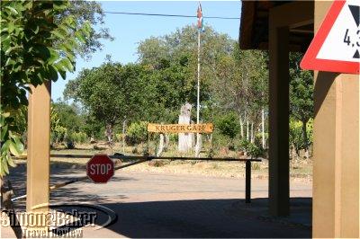
Entrances-Gates Phabeni , Crocodile Bridge , Malelane , Numbi , Orpen , Pafuri , Paul Kruger, Phalaborwa , Punda Maria
Established in 1898
Handicapped Access : Access to the park was limited to authorized vehicles and cars. For safety reasons passengers were only allowed to exit their vehicles at authorized rest stops and facilities. Many main camps and some of the alternate camps had accessible accommodation for people in wheelchairs or with other physical impairments. For more information visit, http://www.sanparks.org/groups/disabilities/
Health And Vaccinations Anti-malaria medication was strongly recommended. These prophylactics required advance planning and medical prescriptions available usually through an international travel clinic.
How To Get There There are connections from most major cities in the world to Johannesburg and from there domestic flights to the Kruger area. Visitors may also choose to drive. Nearby airports included: Phalaborwa Airport , Hoedspruit Airport and the new Kruger/ Mpumalanga International Airport (KMIA) located between Nelspruit and White River .
Location In the north and east of South Africa bordering Mozambique and Zimbabwe
Measures Metric system
Open From sunrise to sunset year-round (unauthorized visitors who remained after dark were subject to fines). For an additional fee late arrivals were eligible for a park escort until 9 p.m.
Owned-Managed Republic of South Africa
Size 19,685 square kilometers including 3,000 kilometers of roads, 23 rest camps and several privately operated concessions and lodges
Technology : GSM cellular phones were readily available. High speed Internet connectivity was available at few of the high end hotels we stayed.
When To Visit Kruger is located in a subtropical climate zone. Though traditional game viewing is generally easiest in winter, many people prefer the lush vegetation and abundant bird life predominant in the Park in summer.
Tours Through nearby hotels, lodges and in-park concessions
We found having a map of Kruger and the area surrounding it as well as an iQue handheld GPS (global positioning system) immensely helpful during our self drive visit. Except for the areas nearest the gates, we had no cell phone connectivity and it was impossible to use our Iridium satellite phone without getting out of the car. This meant we had to have everything we needed including maps, the iQue , water, snacks, medication and other necessities before we began our drive. Anything we didn’t have would have to wait until we reached a rest stop or camp, which could be several hours away.
Other The Makulele Concession in the north part of the Park, which opened in April 2002, was the first successful land claim in a South African national park. In addition to its famed animal wildlife, Kruger is home to 300 archeological sites.
Rules Visitors had to remain in their vehicles (no motorcycles or open vehicles were allowed) except when in designated rest areas. No pets were allowed inside the Park. Firearms had to be declared and sealed at the entrance gate and retrieved on departure.
Contact Information
- SANParks Head Office
- SA National Parks
- P.O. Box 787
- Pretoria 0001
- +27 12 426 5000
- Private Bag X402
- Skukuza 1350
- South Africa
- +27-013-735-4000
- +27-012-428-9111
Hi SIMON
great accurate blog about the Kruger Park:
Here is a list of all 27 Rest Camps which would make a nice addition to this article. ( Anyways keep up the good writing )
1. Berg-en-Dal (with satellite Malelane)
2. Crocodile Bridge
3. Letaba
4. Lower Sabie
5. Mopani
6. Olifants
7. Orpen (with satellites Maroela and Tamboti)
8. Pretoriuskop
9. Punda Maria
10. Satara (with satellite Balule)
11. Shingwedzi
12. Skukuza
13. Balule
14. Malelane
15. Maroela
16. Tamboti
17. Bateleur
18. Biyamiti
19. Shimuwini
20. Sirheni
21. Talamati
22. Sand
23. Shipandani
24. Boulders Bush Lodge
25. Pafuri Border Camp
26. Roodewal Bush Lodge
27. Tsendze
Thank you Louis!