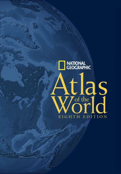
At the beginning of the book, there is information on the world according to satellite, physical and political data (p3-5); the natural world (p6-12); the human world (p13-24). After the Australia and Oceania section there is information on: the poles (p95-97), oceans (p98-103), cities (p104-105), space (p115-122), nations (p123-134) and finally geographic comparisons (p136) and temperature and rainfall (p137) before the extensive index of 140,000 place names.
Some of the maps are quiet complex and interesting including two page maps each of Satellite Word, a composite of 9,700 satellite images as well as radar and sonar data to map the ocean floor; Physical World, an artistic rendering; Evolution of the Earth depicting the world from 600 million years ago to the present; Biodiversity, maps reflecting 825 terrestrial and 96 freshwater and marine “ecoregions;” Population, Cultures (including languages and religions), Migration (including remittances sent and received), Conflict and Terror, Economy and Trade, Food and Forests, Energy and Minerals, Transportation and Communication, Health, Nutrition and Literacy, Environment, and Wildlands. There are also Cities with size estimates from 1950 to 2015 and maps of major metropolitan areas; Space with an image of the Hubble Ultra Deep Field, Northern and Southern skies, The Moon, Mars (compiled from NASA spacecraft data), The Solar System, The Milky Way, The Universe, and Nations with brief descriptions and approximate locations of each.
The book, much of which was bound by hand, is able to open “nearly flat” and comes with an interactive password protected website which includes updates to the Atlas. According to National Geographic it is the first atlas with a totally integrated online component including the latest mapping techniques and satellite imagery. When we last visited the website two updates had been made: Great Sand Dunes National Park and Persian Gulf. These updates could be printed and kept with the atlas or reviewed directly on the website. The website which includes animations made with satellite images and ArcGlobe ™ technology, allows visitors to customize maps and add personal labels and them.
Binding Hardcover
Date Of Publication October 2004
Isbn Number 0-7922-7543-8
Number Of Pages 416
Price $165
Publisher National Geographic Society
Size 19.0 x 12.8 x 1.5 inches
Weight 7 lbs
